|
| *****SWAAG_ID***** | 687 |
| Date Entered | 24/02/2013 |
| Updated on | 24/02/2013 |
| Recorded by | Tim Laurie |
| Category | Tree Site Record |
| Record Type | Botanical HER |
| Site Access | Public Access Land |
| Record Date | 17/02/2013 |
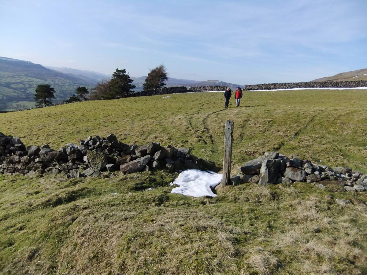
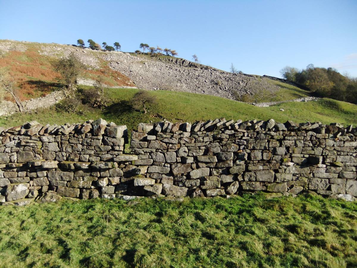
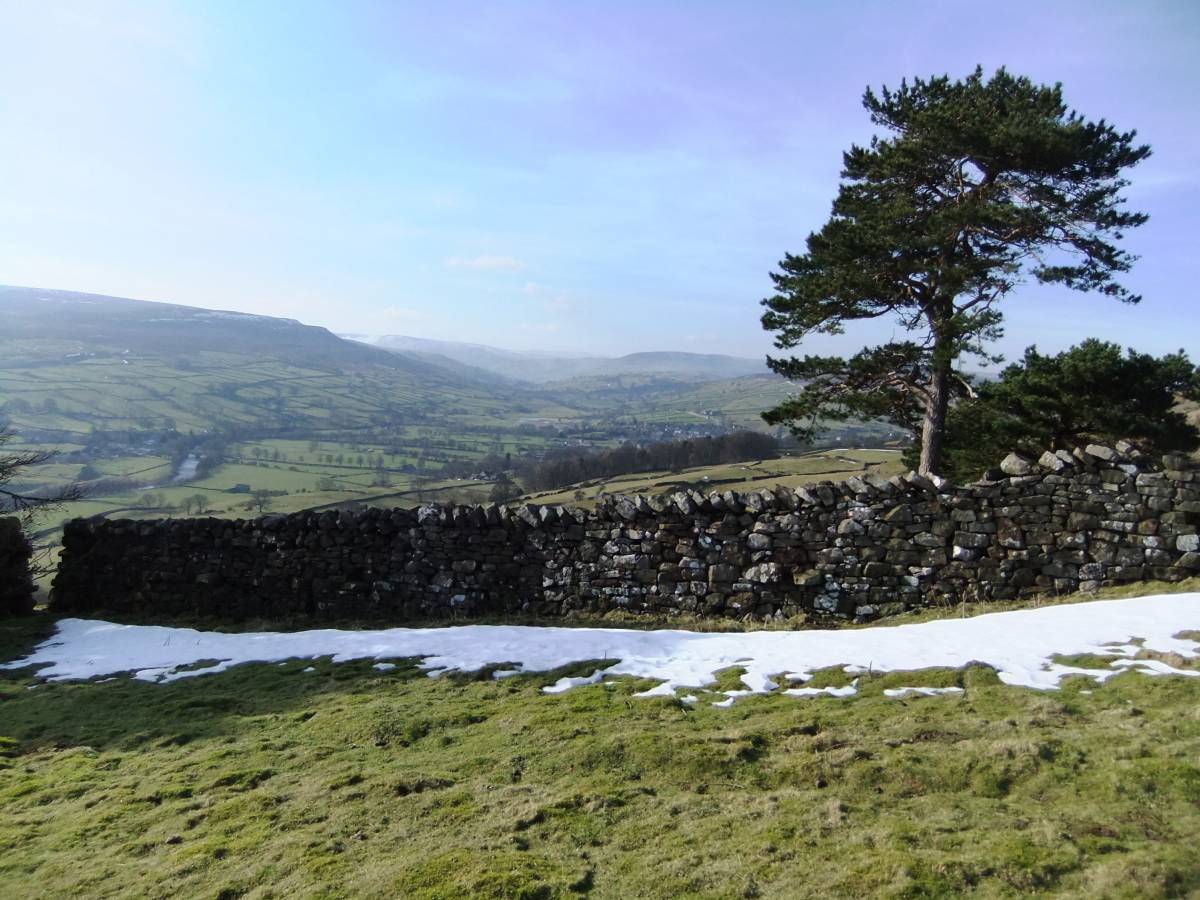
| Location | Fremington Edge above the Hagg |
| Civil Parish | Reeth |
| Brit. National Grid | SE 0588 9920 |
| Altitude | 348m |
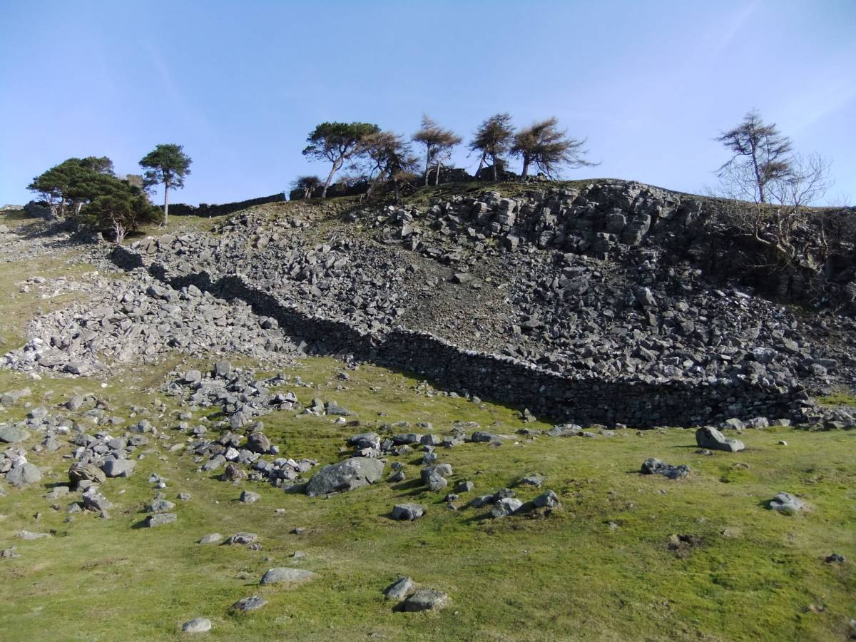
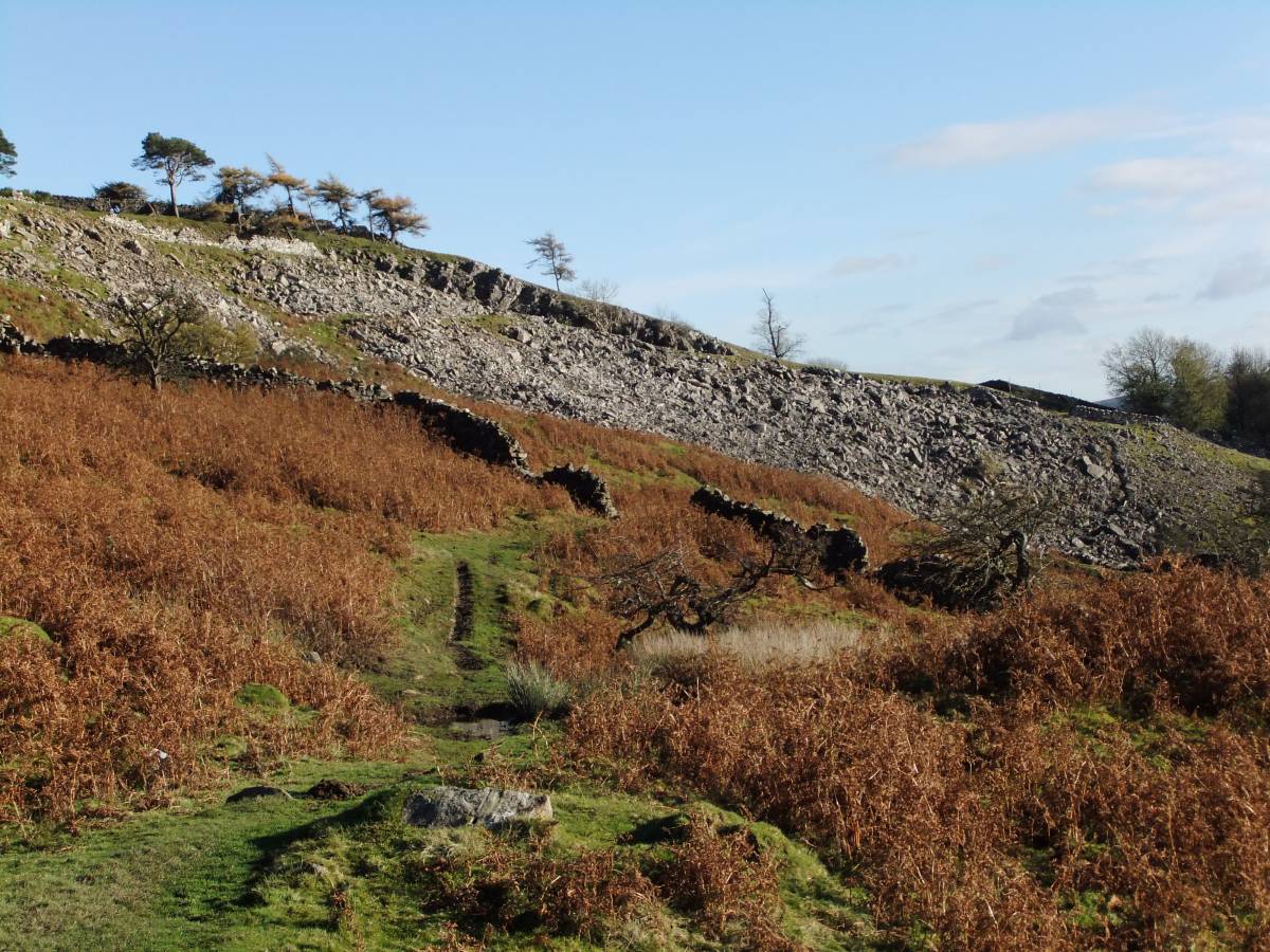
| Geology | The Underset Limestone |
| Record Name | Mature Landscape Plantation of Scots Pine and Larch |
| Record Description | This plantation of scots pine and larch was planted in order to enhance the landscape and to provide a skyline landmark seen from below. In this the enlightened owner of the Dale Side estate centred at The Hagg has been very successful. |
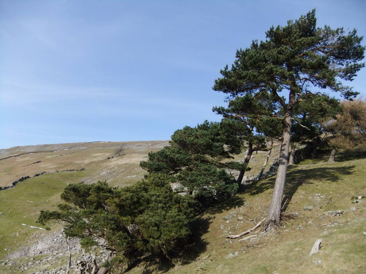
| Additional Notes | The scots pine and larch trees here have withstood for many decades the full force of the prevailing westerly winds at the top edge of this most exposed limestone cliff or scar,
Several trees are now leaning down close to the ground, see photos, but are securely rooted, they need to be! |
| Image 1 ID | 4036 Click image to enlarge |
| Image 1 Description | | 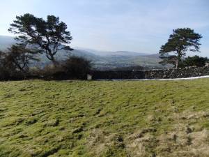 |
| Image 2 ID | 4031 Click image to enlarge |
| Image 2 Description | | 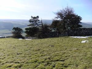 |
| Image 3 ID | 4034 Click image to enlarge |
| Image 3 Description | | 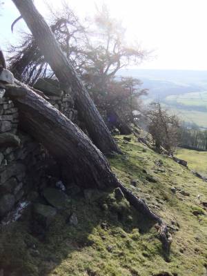 |
| Image 4 ID | 4035 Click image to enlarge |
| Image 4 Description | | 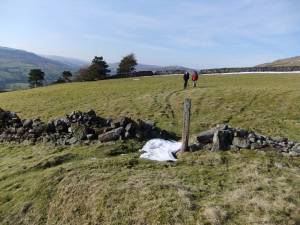 |
| Image 5 ID | 4028 Click image to enlarge |
| Image 5 Description | | 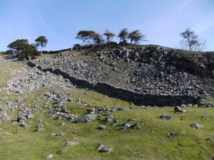 |
| Image 6 ID | 4026 Click image to enlarge |
| Image 6 Description | |  |
| Image 7 ID | 4029 Click image to enlarge |
| Image 7 Description | |  |
| Image 8 ID | 4030 Click image to enlarge |
| Image 8 Description | |  |
| Image 9 ID | 4033 Click image to enlarge |
| Image 9 Description | | 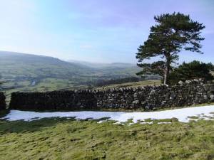 |